
CASA WENDY
COMARES
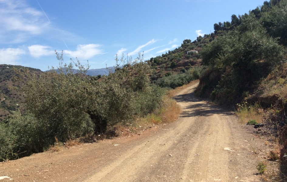
Hiking in and around Comares means contact with nature, becoming fitter, feeling better, fresh air, socializing, ... We have put together a hiking route with our holiday home as departure and end point. Discover here hiking trail Casa Wendy.
There are 6 walking routes of different levels mapped out by the municipality. These walking routes are also accessible to discover with children.
Via this route you walk around Comares. The entire road is paved. What stands out in its route: the cave of the window and the olive tree, an old Roman road, the remains of a coracha, the fat fountain and the thin fountain with its cistern.
The route departs from the Puerta del Agua in Comares and runs through the hill of El Calvario until the Lavadero arrives. This washplace is from the year 1950. From the road we have a beautiful view over the well-known wells of the Haza Grande. There are some caves. Along the route we can enjoy unparalleled views of the rocky mountains such as Andualla. We climb the ancient road of the Chinese, the current lane, until we reach the alley of Hilarico, continue left towards Comares until Plaza Balcón de la Axarquía where the route ends.
From the Puerta del Agua we descend via the Calzada Romana and follow the path to the right towards Callejón de Hilarico. We walk down until we find a sign that leads us to the Cuatro Vientos viewpoint to stay close to the Solano river. Returning to Comares towards Fuente Delgada y la Teja, above which lies the Tajos of the Sierra de Andualla. We go back and turn left until we reach the road that leads to Alparrache. We continue the Sierra de Andualla and reach a path that takes us to the place of Pilarejo and the Sana fountain.
Starting from the Plaza Balkon de Axarquía, take the road to Molina and follow the old road. We leave the fuente Sana on the left and go to LLlano de la Cruz to arrive via carril de Maxmúllar at fuente Mañuña, a public resting place and drinking trough.
From here the climb to the Mesa de Maxmúllar starts at a height of 724 meters. After enjoying this beauty we return to "Hins Comarix".
We start from Plaza Balcón de la Axarquía to the hamlet of Ventorro, continuing through Concas until the intersection of La Breña to the path from the Chamizos to the next left turn towards el Romo with a descent to the dam of the river Solano. We go downstream towards el Llano Almendra, without meeting the Cuevas and Solano rivers.
This ends in the road that climbs to Cabracerril in the direction of the Eznite. From the junction of Los Hijanos we start a descent to Eznite to ascend again to Comares along the Vélez-Málaga motorway up to the Tajo de Haza Grande to climb the old Camino de las Chinas.
This route takes you along the many ancient sources in the area of the Comares: Fuente Gorda, Fuente Delgada, Fuente de la Teja and Fuente Sana.

